December 04, 2015
Earth Institute | Columbia University
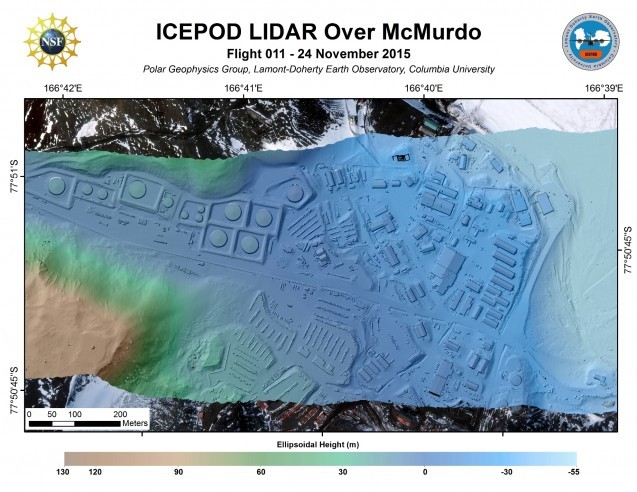
LiDAR (Light Detection and Ranging) is a remote sensing technique that uses light to develop an image of the surface of the Earth, and is an important part of our geophysical suite of measurements in ROSETTA-Ice.
