Leveraging Community Partnerships to Predict & Communicate Coastal Responses to a Changing Greenland Ice Sheet
Image Carousel with 3 slides
A carousel is a rotating set of images. Use the previous and next buttons to change the displayed slide
-
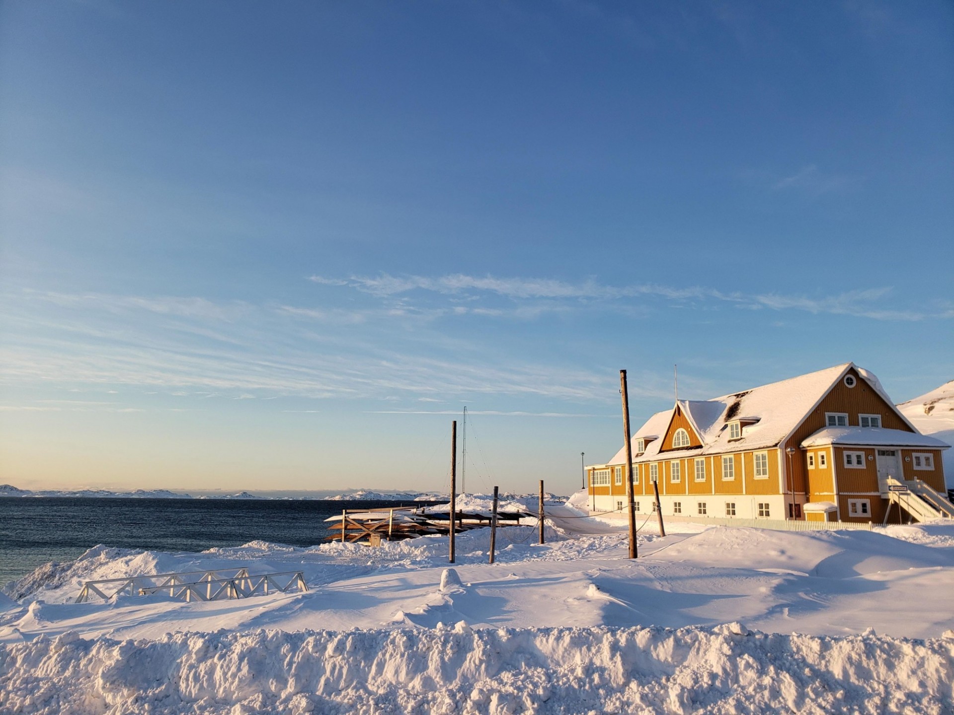
Slide 1: A house and pier on the snowy coastline of Nuuk, Greenland. Photo: Dave Porter (LDEO)
-
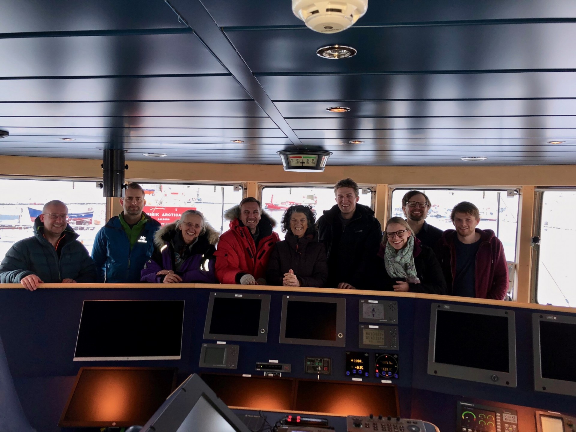
Slide 2: Greenland Rising team photo on bridge of research vessel Sanna. Photo: Dave Porter (LDEO)
-
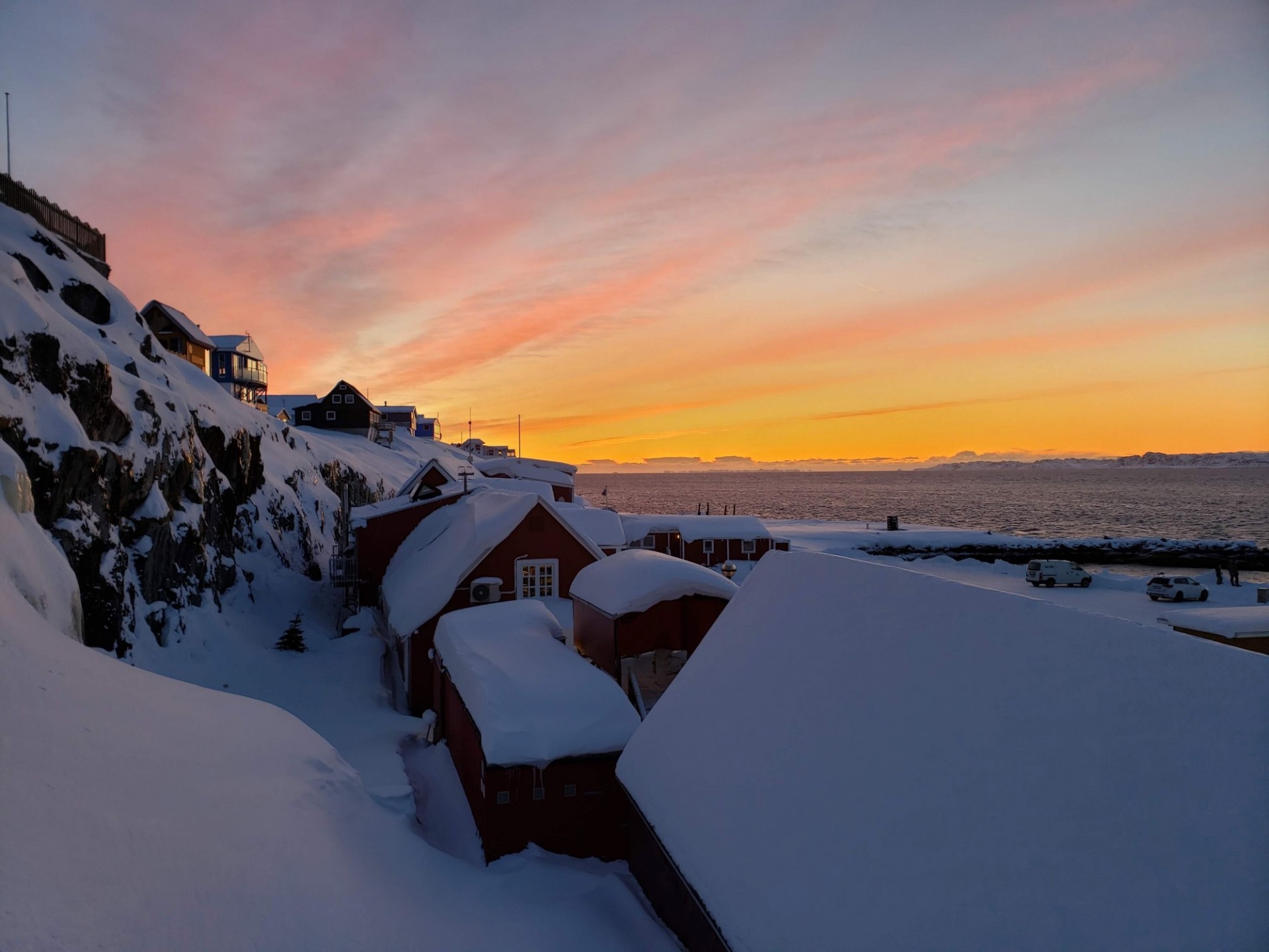
Slide 3: Sunset over snowy coastline of Nuuk, Greenland. Photo: Dave Porter (LDEO)
Predicting Coastal Responses to a Changing Greenland Ice Sheet
The NSF-funded Greenland Rising project brings together a diverse and convergent research team to study three primary effects of local sea level changes on Greenland’s natural, social, and built environments.
This joint US-Greenlandic team has identified four key communities, with different infrastructure, that are likely to experience different future coastal environmental change due to mass loss of the adjacent ice sheet. By focusing on four communities, we will develop better models of the changes to both land and sea level. Moreover, we will map the shallow water environments in order to determine which habitats and coastal transportation routes may change.
Ice Sheet and Coastline Changes
Sea level changes throughout the Arctic are the combined response of solid Earth uplift or subsidence, oceanic circulation, and gravity field variations; which are driven by changes in glaciers and ice sheets. Due to the adjacent ice sheet, the signals of shallow water change may be large in Greenland. The Greenland GPS Network (GNET) already has documented uplift rates up to 23 mm/year and subsidence rates of 5 mm/year in the southwest.
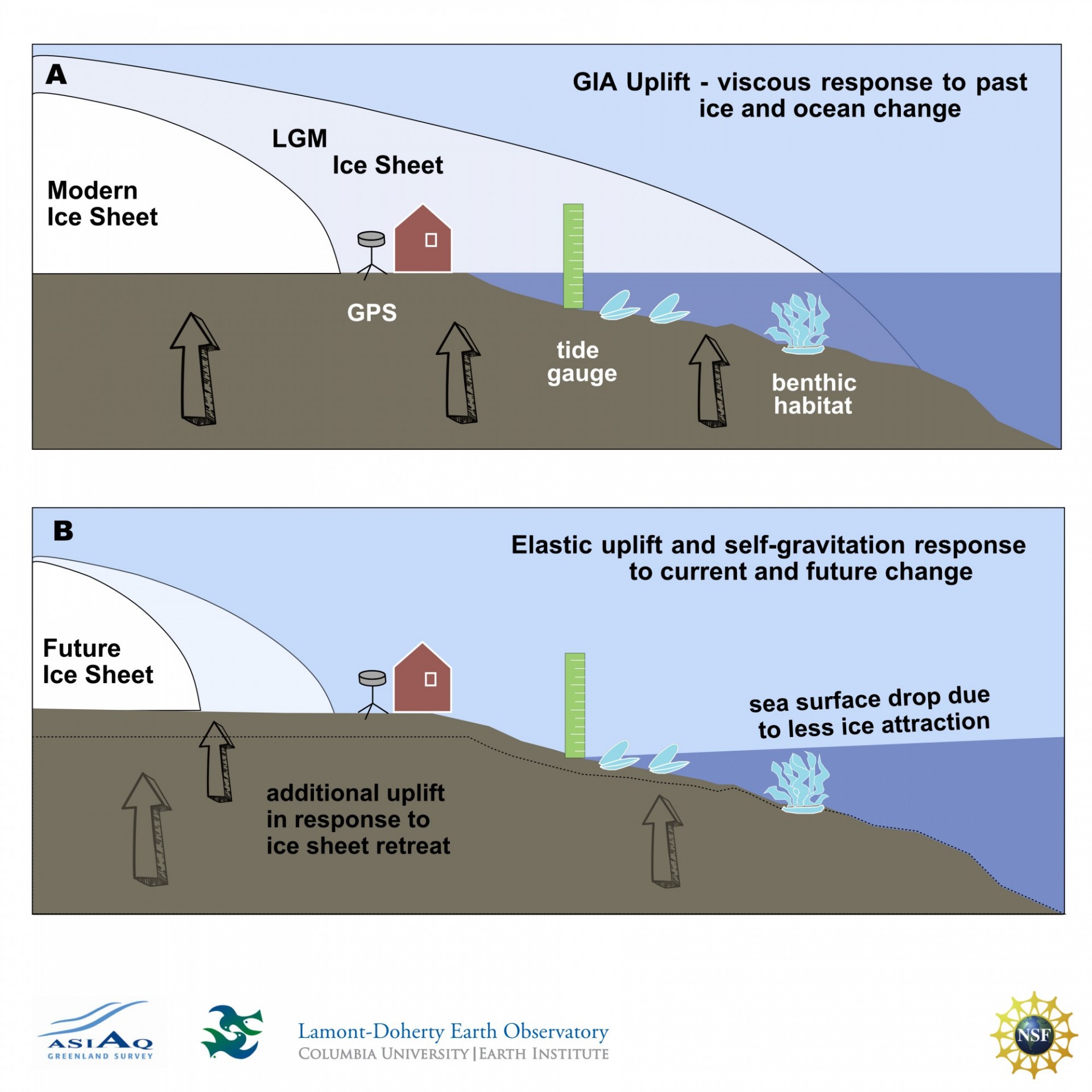
Figure 1. The figure above shows the Drivers of Future Change to Greenland Shallow Water Environments in two parts. Both show GPS systems and Greenland Rising community tide gauges monitoring change. (A) shows how the retreat of a Modern Ice Sheet since the Last Glacial Maximum (LGM) triggers a viscous response of glacial isostatic adjustment (GIA) uplift. (B) shows the environmental response to current and future changes in the Greenland Ice Sheet. The response includes additional uplift and sea surface drop, which is an elastic response to unloading and self-gravitation. The GPS observations capture both the elastic and visco elastic vertical crustal movements. The Greenland Rising community tide gauges will measure all contributions to local sea-level rise and fall.
The goal of this project is to bring together a convergent research team focusing on the integration of the natural, social, and built environments of four different Arctic communities proximal to a changing ice sheet. This focus permits the: (i) use of state of the art technologies to map shallow water environment and habitats; (ii) development of data-informed models and projections of how sea level has responded to changing ice in the past, present and future; and (iii) partnering with local communities in: data collection to improve the sea level models, and baseline bathymetric mapping to identify hot spots for future change - specifically, where new infrastructure, fisheries, and other marine use may be susceptible to change.
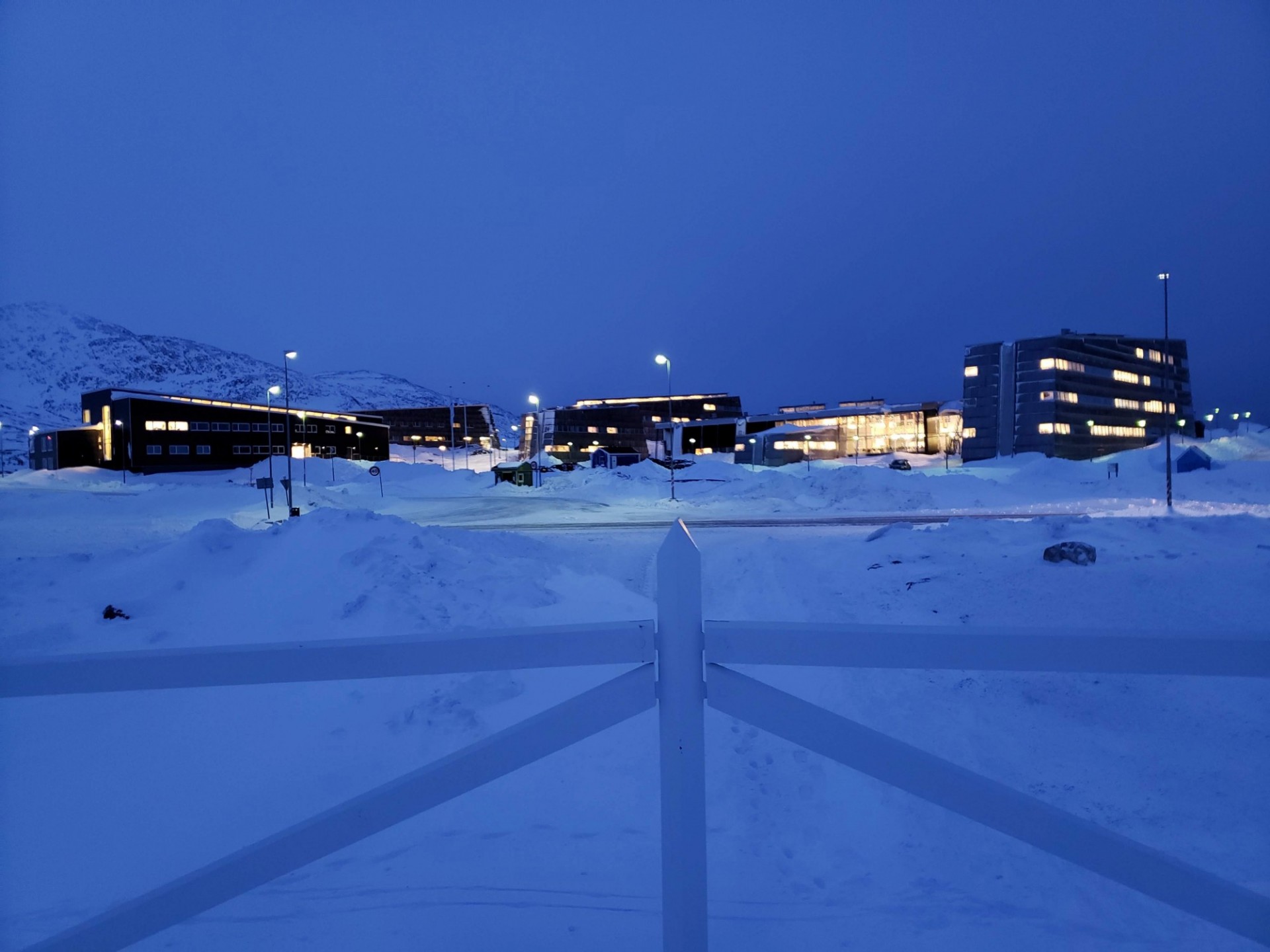
A Focus On Four Communities
The Greenland Rising Project is focusing on four Greenlandic communities that all have direct contact with the changing coast: Nuuk, Aasiaat, Kullorsuaq, and Tasiilaq. Each of these communities exhibit the project’s core components: natural shallow water environments and habitats; built environments like ports, shipping routes, and other infrastructure; and, social systems involving locals in climate education. However, as every community has a different population density, core economy, and geologic settings, a single framework for responding to climate change will not work. Our project intends to help develop strategies that will fit each community’s needs by leveraging co-production at each stage, from survey design, to data collection and dissemination, culminating in communication of findings.
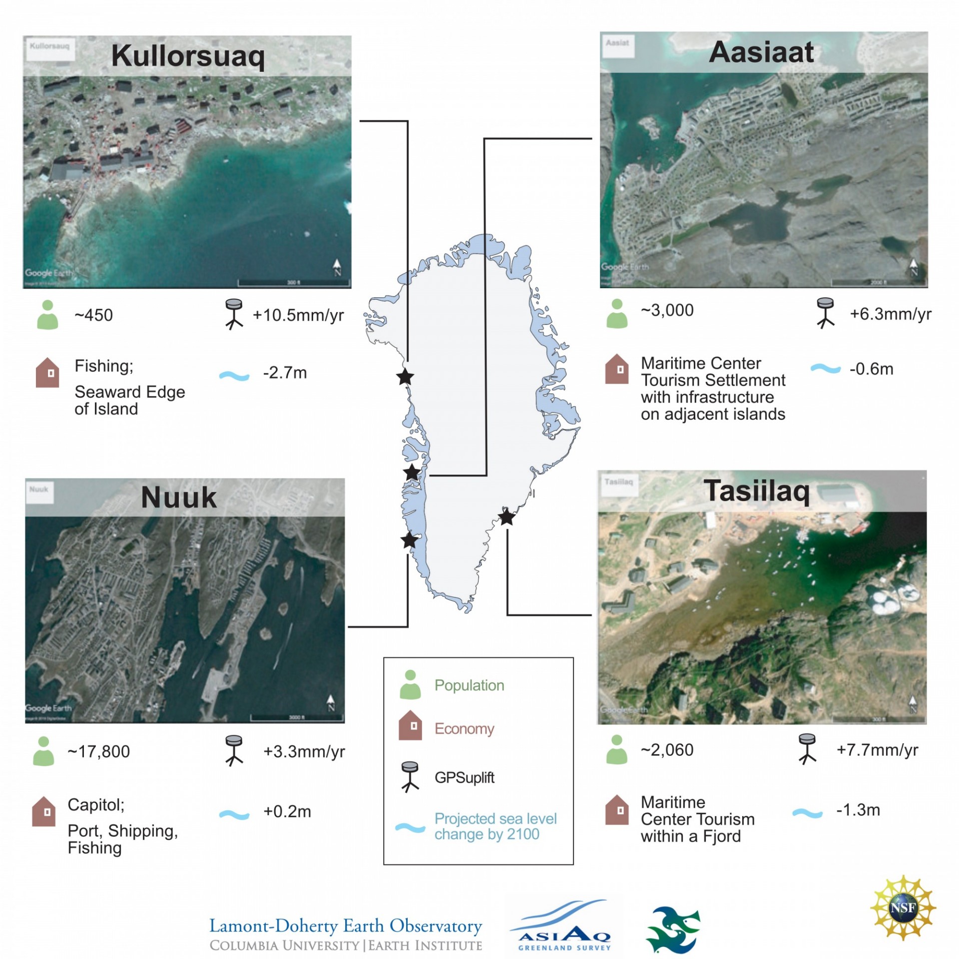
Figure 2. The infographic, above, shows the locations of the four focus communities for the Greenland Rising Project, as well as their population, main economic resource, evident uplift or subsidence as seen by GNET, and predicted amount of sea level change.
The Natural Environment component of the project involves using state-of-the-art technologies to map habitats and shallow water environments that are susceptible to future rapid change, in order to create baseline observations. These baseline readings will create a foundation for developing data-informed sea level models and projections of land (and seafloor) uplift or subsidence, that will occur in response to the changing ice.
The Social Systems of these Greenlandic communities are invaluable resources to the Greenland Rising Project’s endeavor. Partnering with these communities allows us to collaborate throughout the project: from survey design, to ongoing measurements of tide and hydrography, and the baseline bathymetric (seafloor) mapping. This input will influence the framework for these surveys - ranging from identifying hot spots, to monitoring tide gauges.
The Built Environment of every Arctic coastal community will be impacted by climate change. By partnering with four Greenlandic communities that all have different sources of income and existing infrastructure, the Greenland Rising Project can develop a flexible framework that caters to the specific needs of that community. This partnership will inject newly collected data into existing legislative frameworks for infrastructure, fisheries, and other marine dependencies that may be susceptible to change. Our contribution of valuable data to the natural resource mining and general infrastructure development that are already underway in Greenlandic communities, will help develop a template for climate change solutions that could be applied to additional coastal communities.
Program Activities
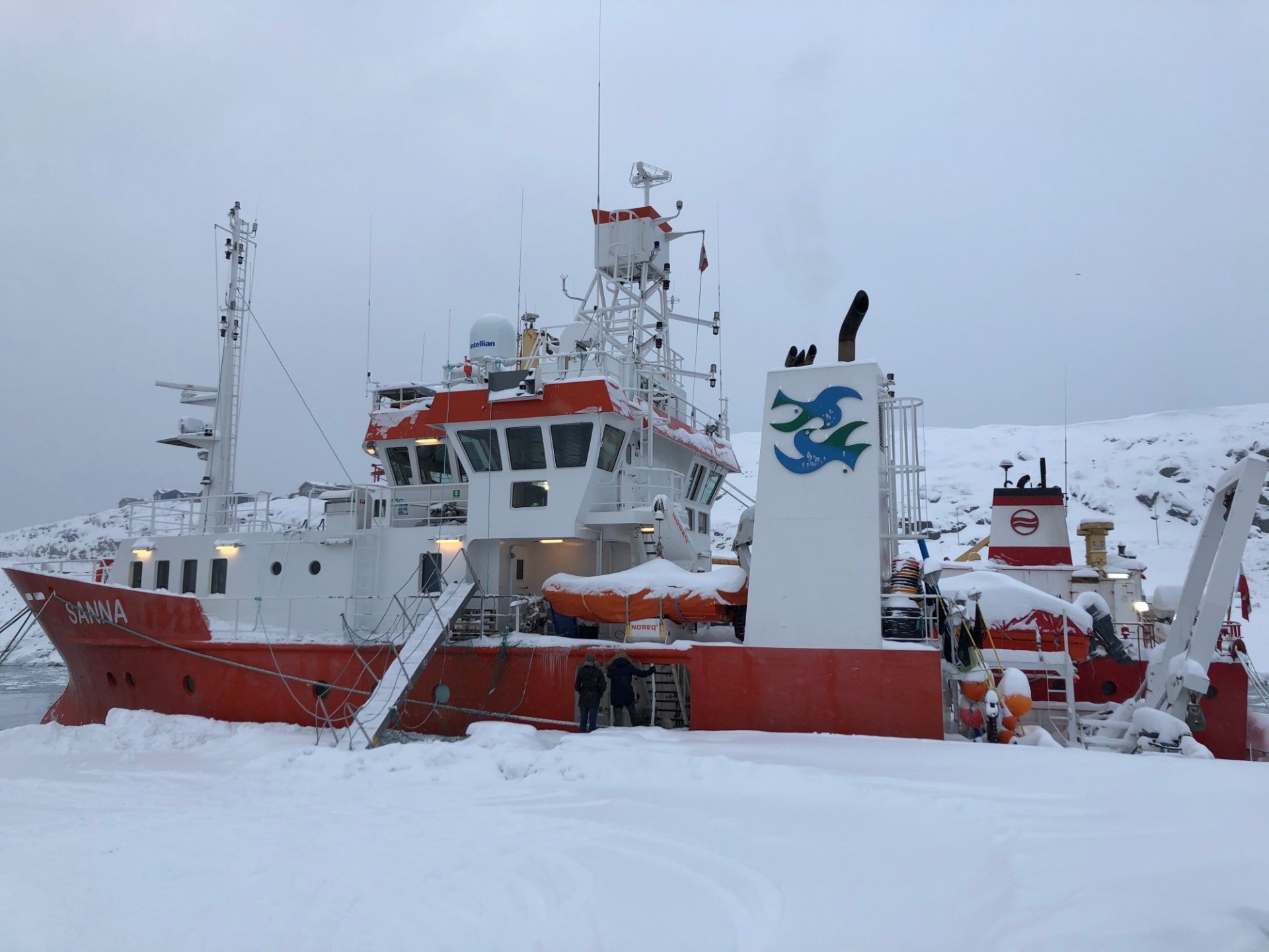
Using the Greenland research vessel Sanna, extensive surveys of the fjords and coastlines proximal to each of the four communities will be conducted. New data yielded from these surveys will include multibeam echo sounding for both bathymetry (depths to the seafloor) and benthic habitat characterization, as well as, towed underwater video imagery for ecological evaluation.
A shallow-drafted skiff with a transom-mounted echosounder will be deployed along with the Sanna to map, and sample, in coastal areas that are less than 20 meters deep. Tide gauges will be deployed both in and around communities and critical habitat mapping zones. In addition to measuring the local change in relative sea level, these tide gauges will be used for controlling ship survey data, educational modules, and to improve predictive regional tidal models used for fishing and transportation purposes.
Acknowledgements
Federal funding for these activities were provided by the National Science Foundation under National Science Foundation 0958658, 1443534, 1443498, 1443677, 1443497, and 1341688, through Navigating the New Arctic (NNA) and Arctic System Science (ARCSS) Programs.
Any opinions, findings, and conclusions or recommendations expressed in this material are those of the author(s) and do not necessarily reflect the views of the National Science Foundation, Asiaq Greenland Survey, or the Greenland Institute of Natural Resources.
Image Carousel Photos: Dave Porter (LDEO)