IcePod
An Integrated Ice Imaging System for LC-130 Hercules Aircraft
")
About
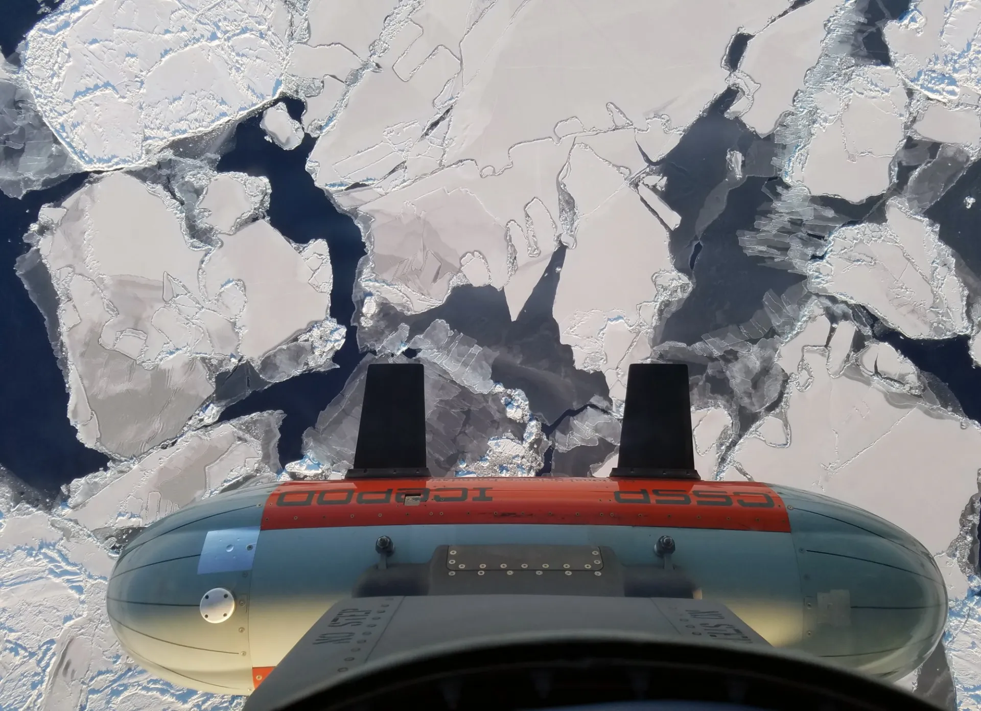
The IcePod is a modular, integrated, ice imaging system that can measure surface elevation, ice thickness, and structure, in high resolution from the surface to the bed. The system is enclosed in a Common Science Support Pod (CSSP), mounted to the rear troop door of an LC-130 Hercules transport aircraft. From the aircraft, the instruments can collect an array of measurements during both routine and targeted missions across Antarctica and Greenland. The IcePod is a versatile, multi-measurement tool that can be used to collect fundamental datasets necessary for understanding Earth’s ice. IcePod aims to become a community-driven instrument, supporting Arctic and Antarctic geophysical research from the air.
With the IcePod's ability to regularly collect concurrent data on the change in ice volume and the underlying processes, we are able to examine not just "how fast" the ice sheets are changing but also "why". The datasets collected by the IcePod system are essential to support the development of accurate Earth system models. Furthermore, these data-informed models are critical for understanding and predicting changes in sea level and the global climate.

The Science
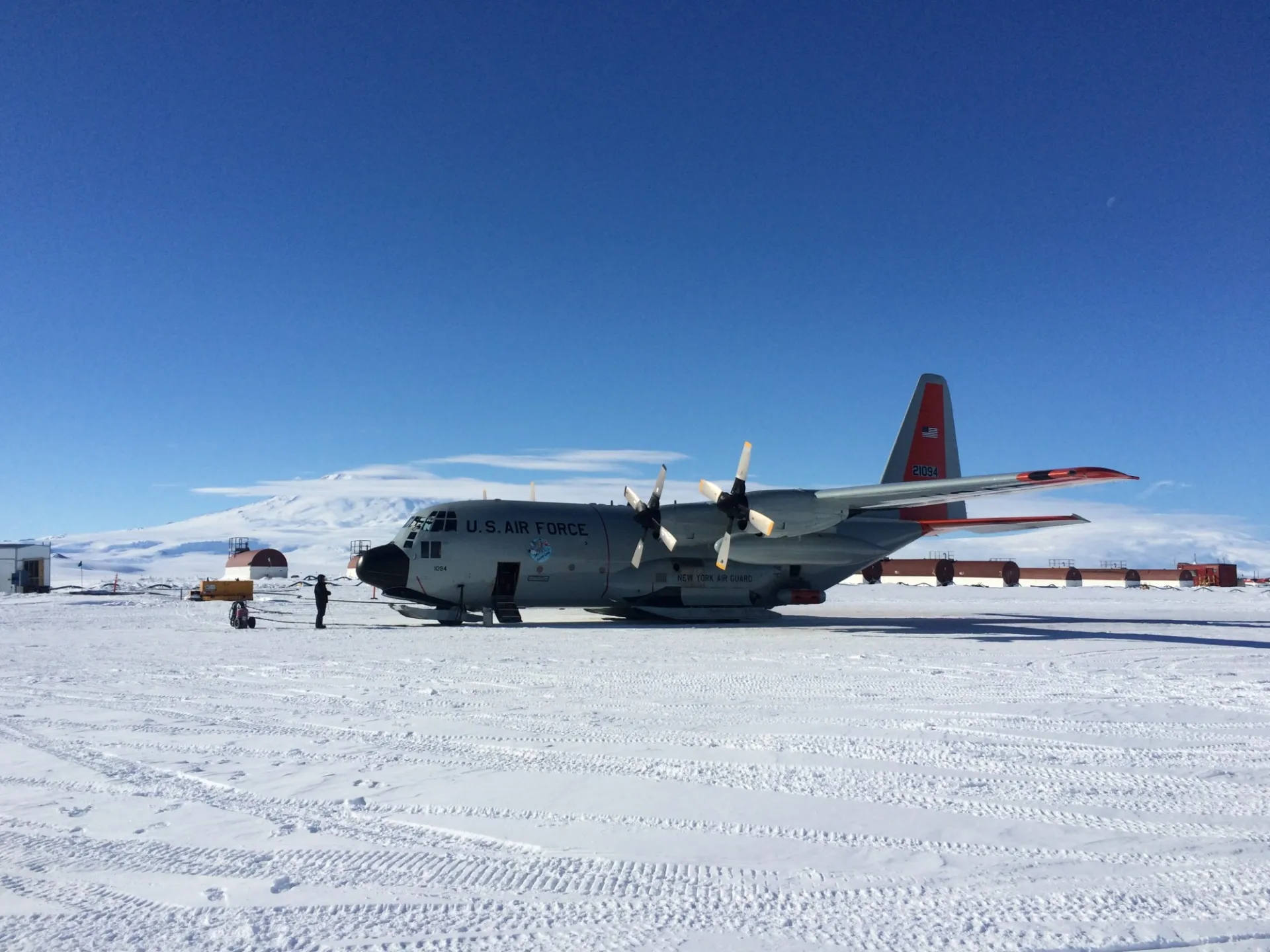
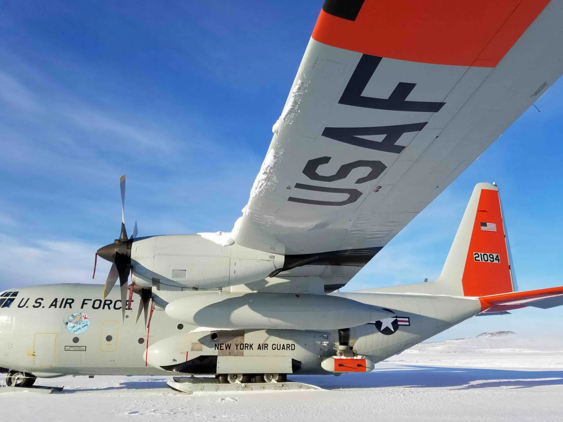
The IcePod imaging system works with an instrumented door plug, which was designed to be installed in any of the rear troop doors of any New York Air National Guard 109th Airlift Wing LC-130 Hercules Aircraft . The 8.5 foot pod is lowered from the door during flight, to collect data on ice sheet surface and subsurface topography, ice streams, and outlet glaciers.
The instrument system was designed to be modular; thus, allowing a range of ice and surface imaging sensors to support different projects. The instruments selected, designed, and tested, include: a scanning laser for precise measurements of the ice surface; visible and infrared imaging cameras to document the ice surface and temperature; a cesium-fluxgate magnetometer to study the bedrock ; and ice-penetrating radar to recover the ice thickness, and constrain the distribution of water at the ice sheet bed. Geo-referencing of the sensors' measurements are provided by on-board precision GPS satellite data, integrated with inertial technology.
Over a five-year period, from its 2010 inception, this project focused on the design, build, calibration, field testing, and final commissioning of the instrument. From 2015 to 2017, the IcePod was deployed for the ROSETTA-Ice Project and Pipers Project.
IcePod System Information
The IcePod Sensor Suite weighs 400 lbs.
All sensor specifications, unless otherwise stated, are given for the platform flying on a LC130-H at the survey elevation of 3,000ft and survey speed of 170knots.
")
Sensor Specification
Novatel Span SE L1/L2 GPS Receiver
Litton LN200 IMU
RIEGL VQ-580 Airborne Laser Scanner
Pulsed-Chirp Depth-Sounding Radar
Shallow Ice Depth-Sounding Radar
Scintrex CS-3 Cesium Vapor Magnetometer +
Billingsley TFM100G2 Magnetometer
Sofradir IRE640L Infrared Camera
Imperx Bobcat 29MP Visible Camera
Heitronics KT15-IIP Pyrometer
IcePod Project Support
The IcePod sensor-suite has been deployed as an integral data collection instrument, by the following projects:
Acknowledgements
Federal funding for these activities were provided by the National Science Foundation from research grant #ANT 0958658 through the MRI initiative.
Major private funding was provided by the Tinker Foundation.
Any opinions, findings, and conclusions or recommendations expressed in this material are those of the author(s) and do not necessarily reflect the views of the National Science Foundation or the Tinker Foundation.
Image Carousel Photos: Beth Burton (USGS, 1 & 3), and Isabel Cordero (LDEO, 2)