ROSETTA-Ice
Uncovering the Ross Ocean and Ice Shelf Environment and Tectonic setting Through Aerogeophysical Surveys and Modeling (ROSETTA-Ice)
About
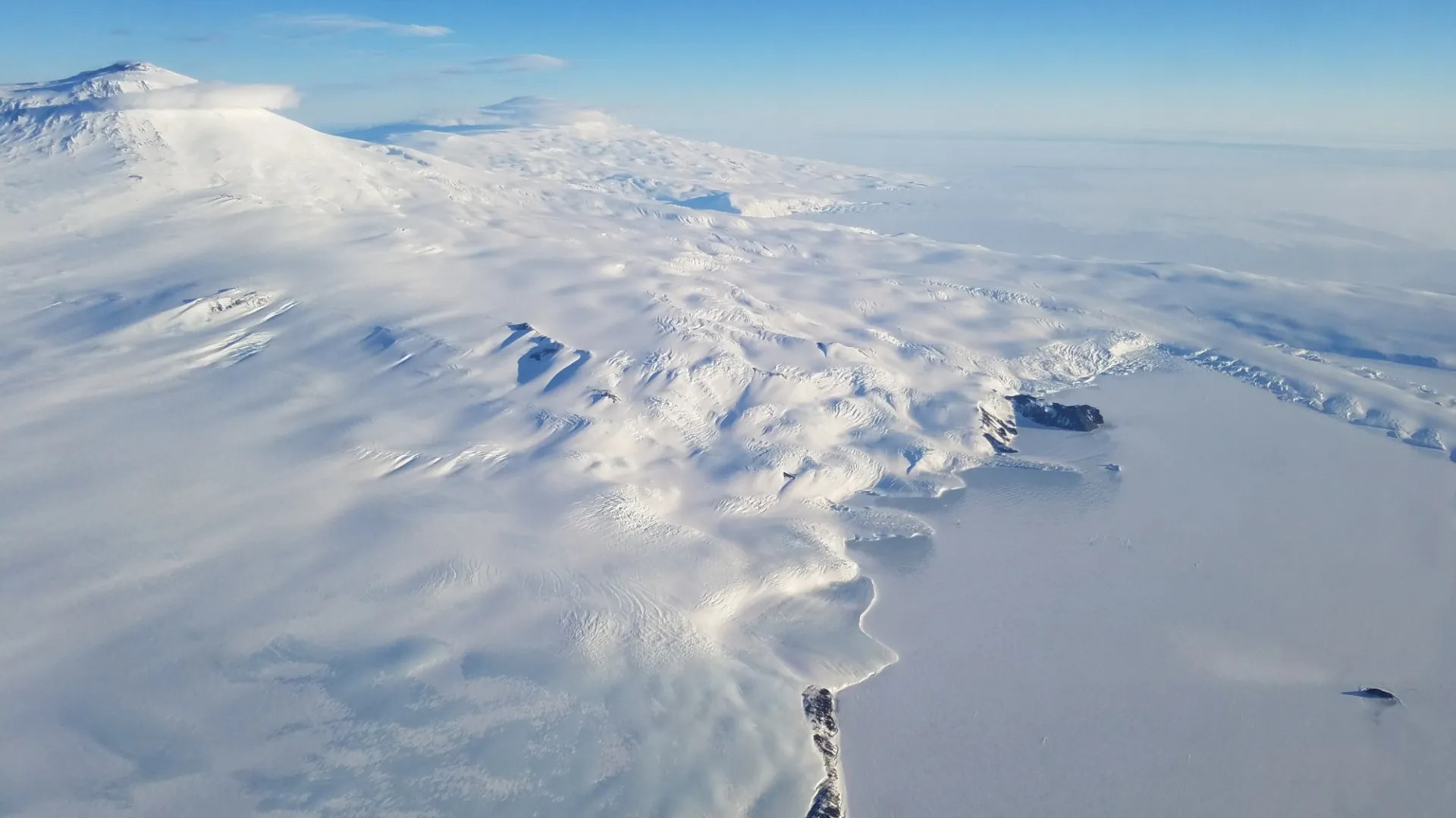
The Ross Ice Shelf in Antarctica is an enormous expanse of floating ice - hundreds of meters thick, with an area of over 450 thousand square kilometers. Floating in the Ross Sea, only the ice shelf surface and the calving front are visible to the naked eye. Most of the ice shelf - like an iceberg - is underwater, and requires instruments for us to visualize it. The Ross Sea embayment directly impacts the ice shelf floating in it. The ocean currents and annual sea ice help keep the Ross Ice Shelf stable. These currents heavily influence the structure of the base of the floating ice shelf. The currents, in turn, are directed by bedrock formations below. Understanding these individual components is integral to understanding this intertwining system as a whole - particularly in the face of climate change.
It is the goal of the ROSETTA-Ice Project to further our understanding of the ice, the ocean, and the underlying bed, by bringing together a multi-disciplinary team to conquer a complex airborne research survey of the Ross Ice Shelf.
Project partners and participants: Lamont-Doherty Earth Observatory (LDEO); Scripps Institute of Oceanography (SIO); Colorado College (CC); Earth & Space Research (ESR); GNS Science, United States Geological Survey (USGS); Dynamic Gravity Systems (DgS); and the New York Air National Guard (NY ANG).
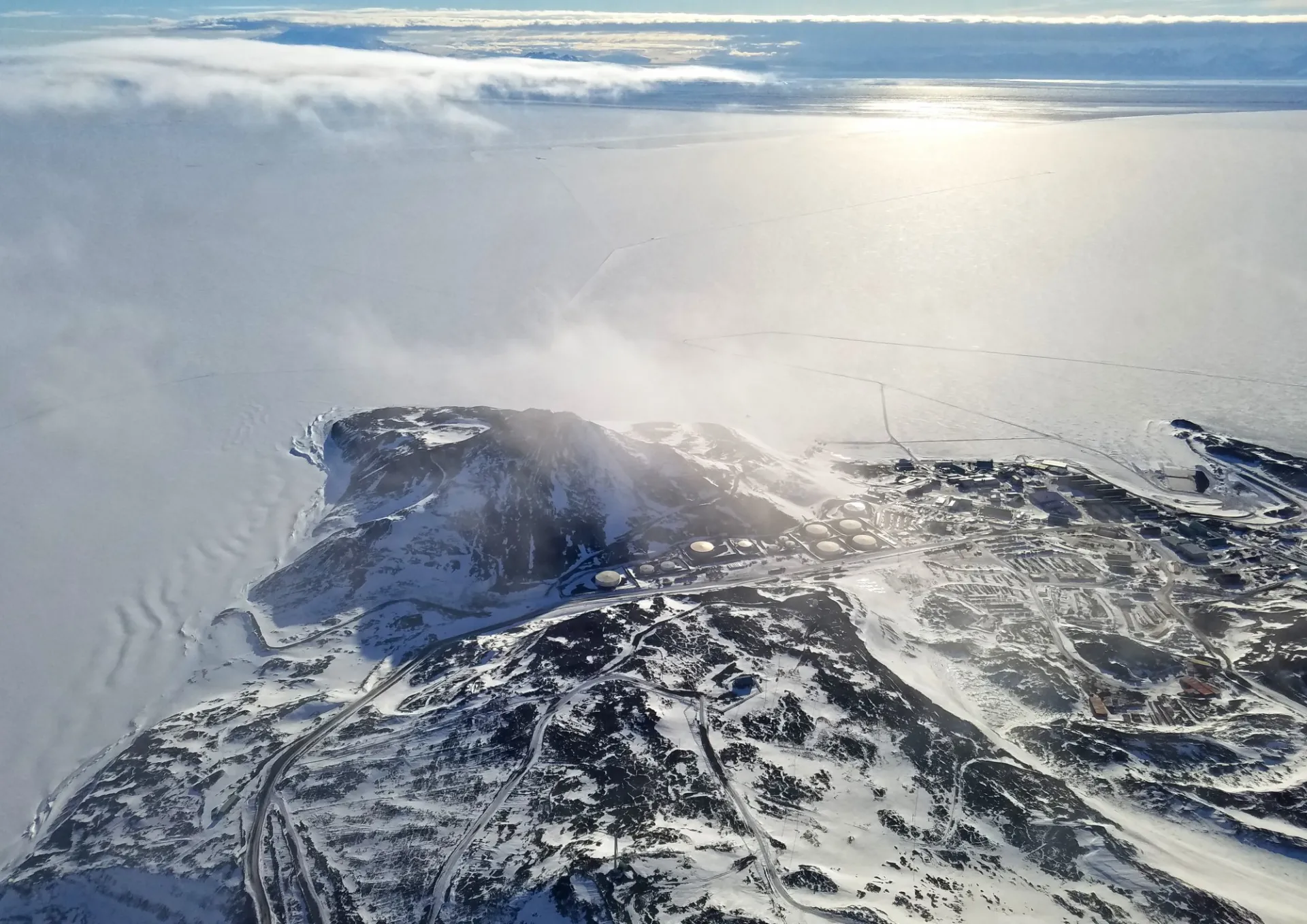
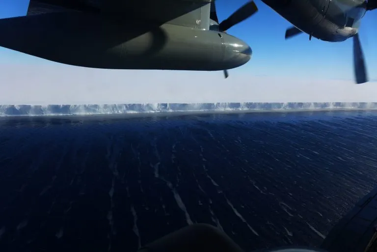
. Image: Polar Geospatial Center (PGC)")
The Integrated System
Studying how the ice, the ocean, and the underlying land interact, will inform us of what potential change in the ice shelf could look like. The ROSETTA-Ice Project's large, multi-disciplinary, multi-institutional project focused on each part of the integrated Ross Ice Shelf system.

Ice moves into, and across, the ice shelf at a speed range of 200-1,000 meters per year; which means, ice takes between 500-1,000 years to travel from the grounding line (where it first goes afloat), to the calving front. The ice shelf is currently in mass balance, but the geological record shows that it has collapsed in the past and is sensitive to both atmospheric and ocean variability. Understanding the stability of the Ross Ice Shelf is a major goal of the ROSETTA-Ice Project.

General ocean circulation, tidal currents, and overall mixing in the Ross Sea embayment - including beneath the ice shelf - are sensitive to: the geology below, changes in the ice shelf thickness, and changes in the ice shelf extent. Furthering our understanding of the oceanography under the Ross Ice Shelf is another goal of the ROSETTA-Ice Project.
The Earth's structure underneath the Ross Ice Shelf influences ocean circulation below the floating ice. Through time, pre-glacial coastal erosion, followed by glacial scouring, has carved and deepened trenches in the sediment; while the overlying ice has flattened the tops of bedrock ridges and mountains. The bed's topographical features influence the ocean circulation beneath the ice. It is also one of the least well mapped sections of the sea floor. The ROSETTA-Ice Project aims to further understand the geological features beneath the ice shelf.
The Methodology
Over a five-year period (1973-1978) the Ross Ice Shelf Geophysical and Glaciological Survey (RIGGS) carried out a historic airlifted survey of the Ross Ice Shelf. Various types of measurements were made at over 200 locations on the ice shelf, including: seismic reflection, ice penetrating radar, snow accumulation, and more.

Figure 1. (LEFT) A topographical map from BedMap2 of the Ross Ice Shelf with the planned survey grid overlain. The East-West survey lines are labeled with L, and the North-South survey lines are labeled with T. At the top of the image is a depiction of Antarctica with the Ross Ice Shelf highlighted as well as a list of the core instruments used for the survey. (RIGHT) The ROSETTA-Ice survey grid and the RIGGS survey station points overlain on a topographical map of the Ross Ice Shelf.
The ROSETTA-Ice Survey Grid was designed in order to get high-resolution, top-to-bottom coverage of the Ross Ice Shelf, using the RIGGS survey as a framework. The grid was oriented to overfly as many RIGGS stations as possible. The planned ROSETTA-Ice Survey Grid would yield a total of 61,000km and 109 survey lines: 94 East-West lateral survey lines with 10km spacing, and 15 North-South tie-lines with 55km spacing. The airborne survey used the existing infrastructure from the New York Air National Guard, with Operation Deep Freeze, and IcePod Project.
The ROSETTA-Ice Project flew three campaigns during November and December throughout three consecutive years. Download ROSETTA-Ice data on our ROSETTA-Ice Data Page.

Figure 2. (LEFT) The Ross Ice Shelf with the ROSETTA-Ice planned survey grid and RIGGS survey stations. (RIGHT) The final grid of flown ROSETTA-Ice survey lines completed during the project.
More information below about the ROSETTA-Ice Survey Grid including a Read Me file and a table containing the Lines and corresponding Flights throughout the three ROSETTA-Ice field seasons.
ROSETTA-Ice Survey Grid Information:
")
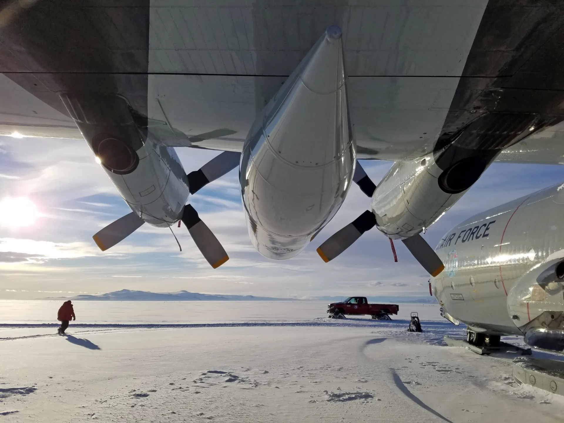
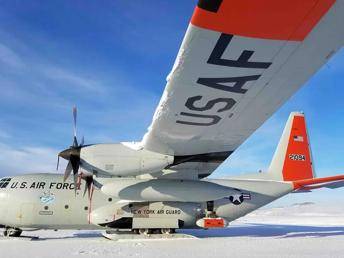
LC-130H aircraft are flown by the 109th Airlift Wing of the New York Air National Guard (NY ANG). The primary mission of LC-130H aircraft is to support the National Science Foundation in the Arctic and Antarctic.

The IcePod is a modular ice imaging system. The integrated system is enclosed in a Common Science Support Pod (CSSP), mounted to the rear troop door of the LC-130 Hercules transport aircraft. The IcePod can measure surface elevation, ice thickness, ice and water velocity, in high resolution from the ice surface to the ice bed.
Learn more about the IcePod on our IcePod Project Page.
")
The gravimeters used for the ROSETTA-Ice Project included the LDEO Airborne Gravimeters alongside a ZLS system contributed by New Zealand's GNS Science. The sensors were installed on a pallet and loaded onto the aircraft each day.
Acknowledgements
Federal funding for these activities were provided by the National Science Foundation under National Science Foundation 0958658, 1443534, 1443498, 1443677, 1443497, and 1341688.
Major private funding was provided by the Gordon and Betty Moore Foundation.
Any opinions, findings, and conclusions or recommendations expressed in this material are those of the author(s) and do not necessarily reflect the views of the National Science Foundation, the Gordon and Betty Moore Foundation, or GNS Science.
Image Carousel Photos: Beth Burton (USGS)